
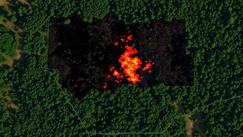
इमेजिंग स्पेक्ट्रोस्कोपी और सिंथेटिक एपर्चर रडार उत्पादों का एकीकरण: अग्नि पूर्व उत्पाद विकास के लिए एक नए युग की शुरुआत
परिचय अग्नि पूर्व उत्पाद विकास एक ऐसी प्रक्रिया है जिसमें आग लगने से पहले ही इसके प्रभाव को समझने और […]
परिचय अग्नि पूर्व उत्पाद विकास एक ऐसी प्रक्रिया है जिसमें आग लगने से पहले ही इसके प्रभाव को समझने और […]
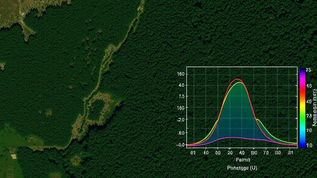
भौगोलिक सांख्यिकीय मॉडलिंग की मूल बातें भौगोलिक सांख्यिकीय मॉडलिंग एक उन्नत तकनीक है जो भौगोलिक डेटा के विश्लेषण और मॉडलिंग