
भौगोलिक सांख्यिकीय मॉडलिंग में बहुस्पेक्ट्रल इमेजिंग डेटा का उपयोग
भौगोलिक सांख्यिकीय मॉडलिंग की मूल बातें भौगोलिक सांख्यिकीय मॉडलिंग एक उन्नत तकनीक है जो भौगोलिक डेटा के विश्लेषण और मॉडलिंग […]
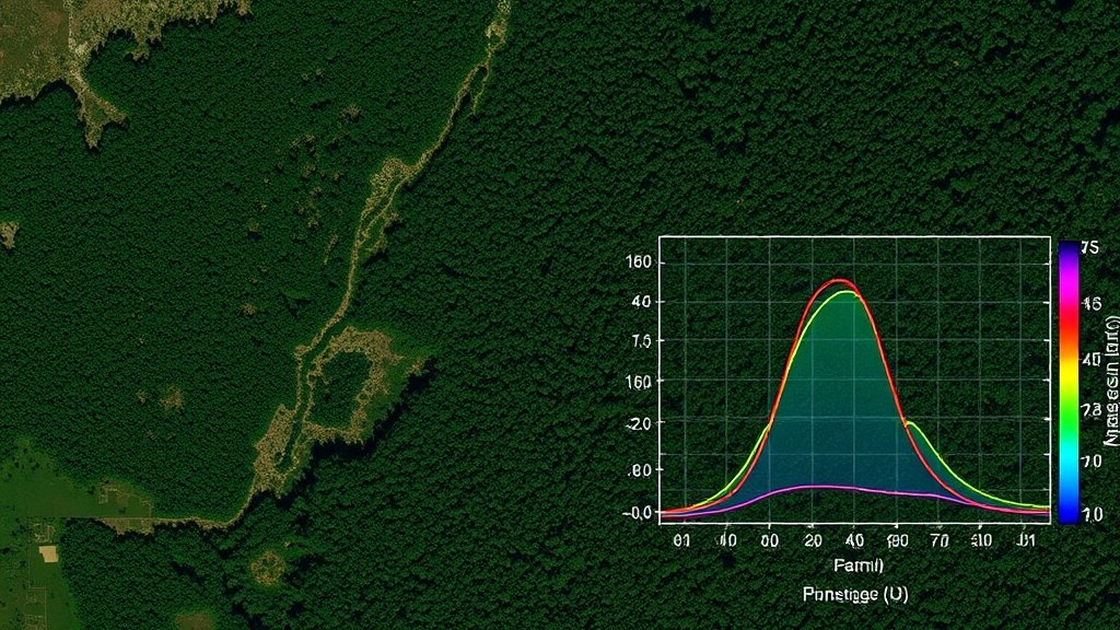
भौगोलिक सांख्यिकीय मॉडलिंग की मूल बातें भौगोलिक सांख्यिकीय मॉडलिंग एक उन्नत तकनीक है जो भौगोलिक डेटा के विश्लेषण और मॉडलिंग […]