Geology

A geological map of the Cape Fear region in the central US Atlantic margin, with various stratigraphic units and formations labeled, and a cross-section illustrating the Cenozoic sequence stratigraphy.
Geology, Stratigraphy

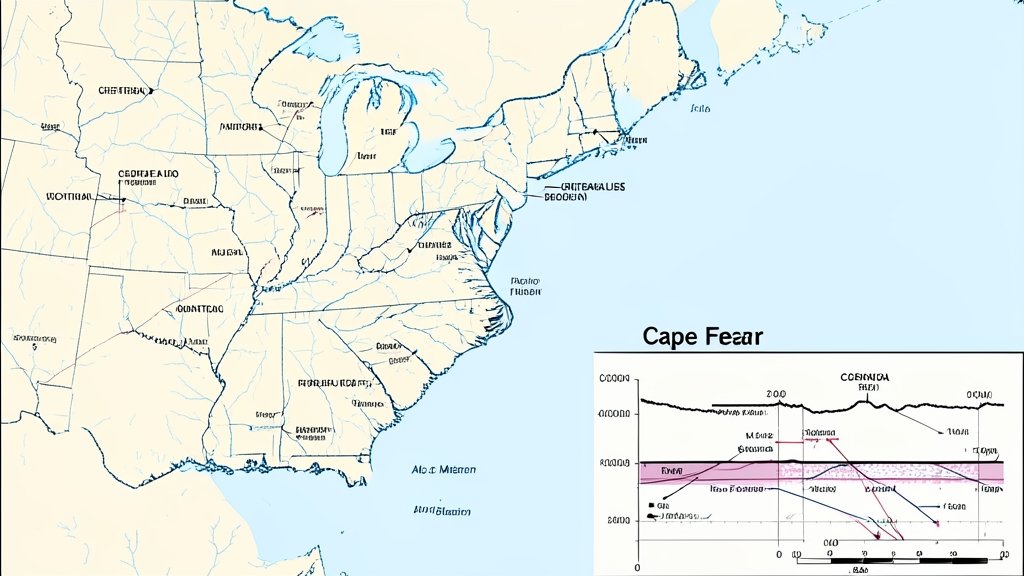
सेनोज़ोइक अनुक्रम स्तरण विज्ञान का केप फियर क्षेत्र, मध्य अमेरिकी अटलांटिक मार्जिन में अध्ययन

परिचय सेनोज़ोइक अनुक्रम स्तरण विज्ञान एक जटिल और विशिष्ट विषय है, जो पृथ्वी की सतह के नीचे स्थित चट्टानों और […]

An illustration of the EMIT satellite in orbit above the Earth, with a map of the McDermitt caldera in the background, highlighting the geological units and features that can be predicted using the satellite's data.
Geology, Space Technology

अंतरिक्ष से मैपिंग: ईएमआईटी सैटेलाइट का उपयोग मैकडरमिट कैल्डेरा, यूएसए में जियोलॉजिक यूनिट्स की भविष्यवाणी करने के लिए

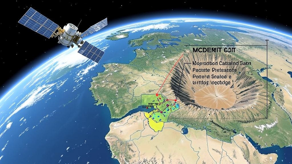
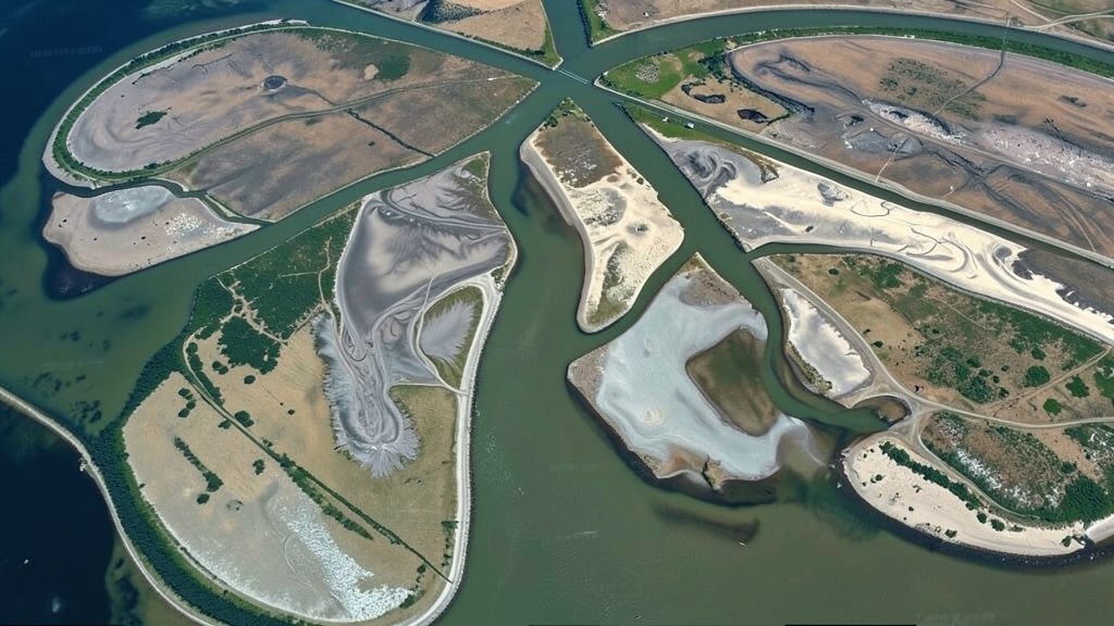
परिचय अंतरिक्ष से मैपिंग करना एक ऐसी तकनीक है जो हमें पृथ्वी की सतह का विस्तृत नक्शा बनाने में मदद

A detailed illustration of a research vessel deploying a distributed acoustic sensing system in the ocean, with a backdrop of the Chilean coastline and a seismic graph in the foreground.
Geology, Technology

शैलो क्रस्टल इमेजिंग के साथ डिस्ट्रीब्यूटेड एकाउस्टिक सेंसिंग ऑफशोर सेंट्रल चिली

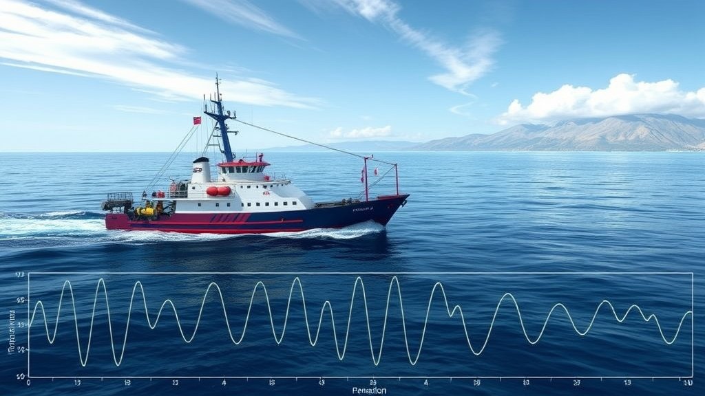
परिचय समुद्री भूगर्भिकी में शैलो क्रस्टल इमेजिंग एक महत्वपूर्ण तकनीक है, जो हमें पृथ्वी की सतह के नीचे की संरचना

An illustration of the Earth's mercury cycle, with a large igneous province in the background, and a subtle hint of the Valanginian Weissert Event's impact on the environment
Environmental Science, Geology

मिनिमल पर्टुर्बेशन ऑफ द ग्लोबल मर्करी साइकल बाय द पा-एटेंडेका लार्ज इग्नियस प्रोविंस (पीई-एलआईपी) दुरिंग द ऑनसेट ऑफ द वालांगिनियन वाइस्सेर्ट इवेंट

परिचय पृथ्वी की पर्यावरण प्रणाली में मर्करी चक्र एक महत्वपूर्ण भूमिका निभाता है, और इसके परिवर्तन के प्रभाव व्यापक हो

A satellite image of a river delta with visible sediment deposits and floodplain areas, highlighting the complexity of fluvial sediment processes.
Environmental Science, Geology

नदियों की तलछट प्रक्रिया और बाढ़ के मैदानों की जटिलता: उच्च-रिज़ॉल्यूशन टोपोग्राफी से भविष्यवाणी

परिचय नदियों की तलछट प्रक्रिया और बाढ़ के मैदानों की जटिलता को समझना एक जटिल और चुनौतीपूर्ण कार्य है। यह

A dramatic image of a wildfire debris flow with a mix of hydrophobic and hydrophilic sands, highlighting the complex rheological behavior of the flow
Environmental Science, Geology

पोस्ट-वाइल्डफायर डेब्रिस फ्लो रियोलॉजी ऑफ मिक्स्ड हाइड्रोफोबिसिटी सैंड्स

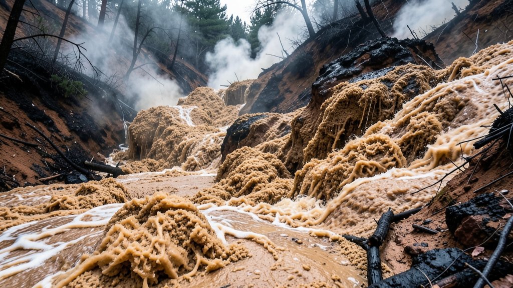
परिचय वाइल्डफायर डेब्रिस फ्लो एक जटिल और विनाशकारी प्राकृतिक आपदा है जो वाइल्डफायर के बाद होती है। यह फ्लो वाइल्डफायर

A 3D numerical model of the Valpelline Series in the western Alps, with colored layers representing different geological formations and a subtle background image of the Alps mountains
Earth Sciences, Geology

पोस्ट-कोलिशनल विकास: पश्चिमी आल्प्स में वेल्पेलिन श्रृंखला के न्यूमेरिकल मॉडलिंग से प्राप्त अंतर्दृष्टि

पश्चिमी आल्प्स में पोस्ट-कोलिशनल विकास: एक परिचय पश्चिमी आल्प्स में पोस्ट-कोलिशनल विकास एक जटिल और दिलचस्प विषय है, जिसमें विभिन्न

A graphical representation of the Nicoya Peninsula with seismic waves and earthquake fault lines, highlighting the role of elastic heterogeneity in understanding seismic cycle deformation.
Earthquakes, Geology

निकोया प्रायद्वीप में भूकंप चक्र विकृति का अनुमान लगाने में लोचदार विषमता की भूमिका

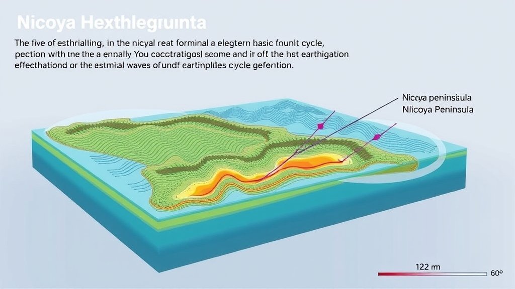
निकोया प्रायद्वीप में भूकंप चक्र विकृति का अनुमान लगाना एक जटिल कार्य है, जिसमें कई कारकों को ध्यान में रखना

Scroll to Top